|
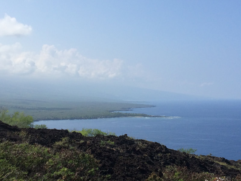
KEALAKEKUA, HAWAII - Years ago I went hiking down to the Captain Cook monument with friends after planning to do it for a few weeks, after I had heard it was kind of challenging. I wanted to gear up and be prepared for a fun adventure. Compass and camera in hand, we set out on a new adventure.
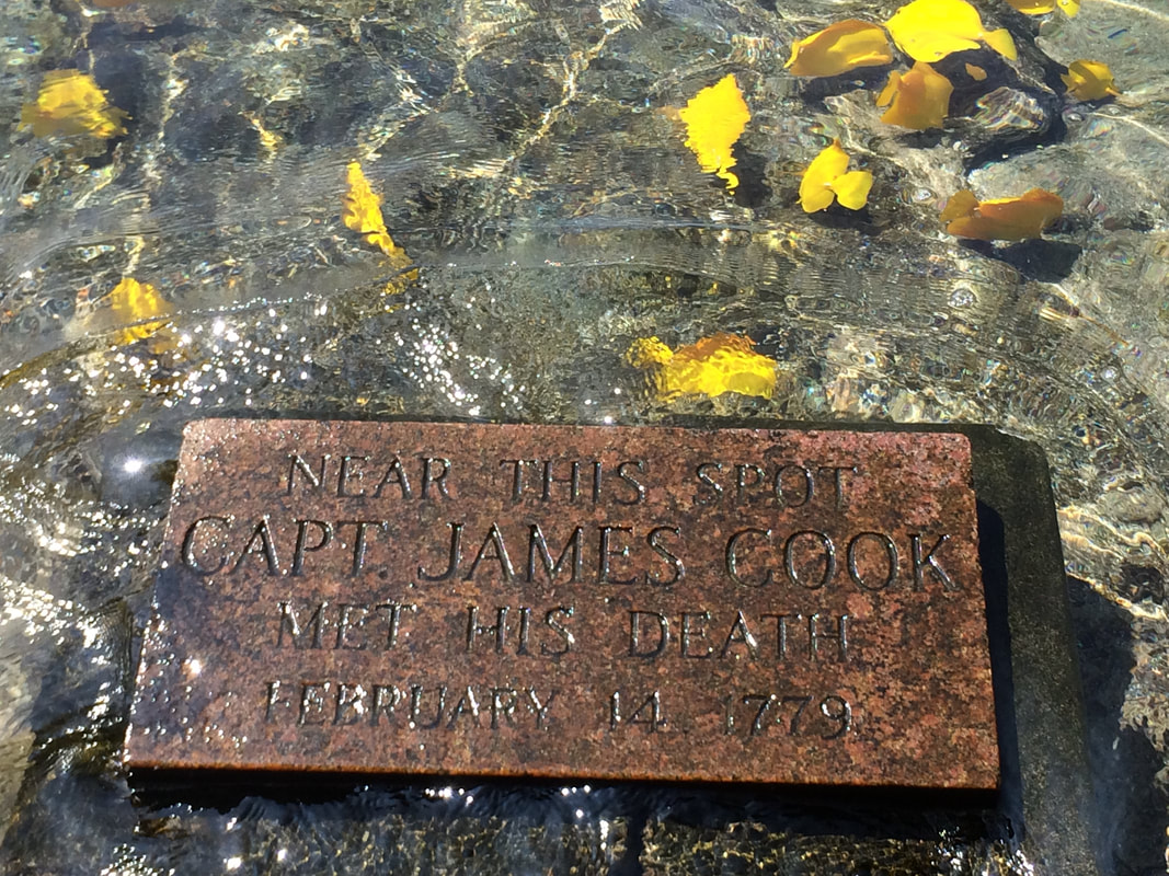
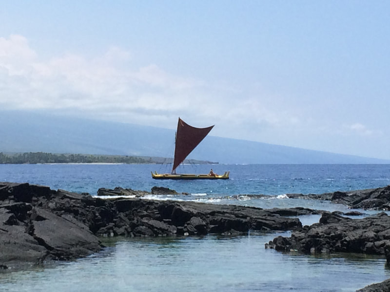
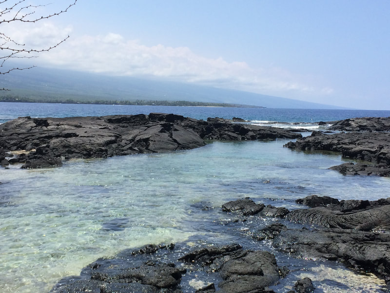
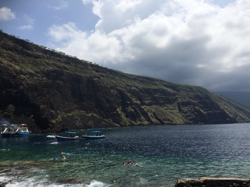
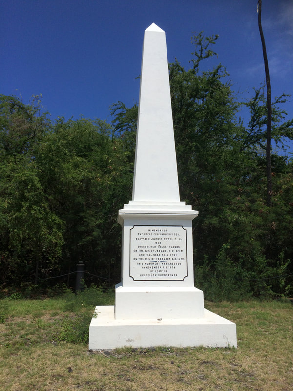
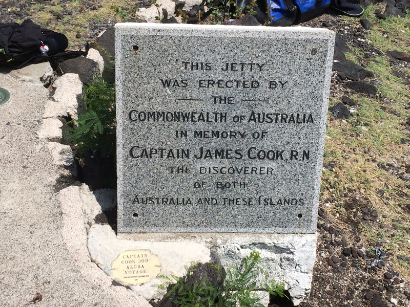
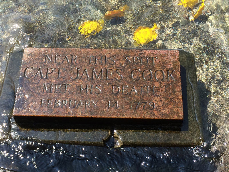
The hike down the un-maintained trail to monument took about about 1.5 hours and is considered a moderately difficult hike, with lots of large ankle-twisting rocks on the trail, elevation changes and lack of nearby shade & resources. Imagine living out here in the ancient days and relying on underground water aquifers, having to catch your own food, and surviving against not only the elements but also invading bands of warriors. Pretty awesome stuff! After enjoying the fruits of a few wild fruit trees, we arrived at our destination. I could easily understand why this area was at one time heavily inhabited and there existed a village nearby. We saw a school of Yellow Tang swimming around Cook's death marker, which was under about two inches of water at the time. In case you didn't realize, Captain James Cook was killed on this day, February 14, 1779, in Kealakekua Bay on the west coast of the Big Island. The story involves many details that I won't get in to here, but basically he had taken advantage of their kindness, and karma came back to get him. That's how it works especially on the Big Island, with all the vortex energy. Kealakekua translates to "pathway of the gods," and for Captain Cook, this was an untimely realization. Nowadays, all you encounter when you're down there are loads of tourists and historical dinner cruises trying to get close enough to snap a photo of the monument. #captaincookmonument Join me on a Hawaii Vortex Adventure on any Monday between March 04 - June 24, 2019 and learn about the vortex energy of Kealakekua Bay (golden triangle) and around the Big Island on a multi-day experience into Hawaii's earth energies, esoteric history, connection with nature & animals and the cosmos, and MORE! SIGN UP HERE: https://www.bigislandghosttours.com/blog/experience-hawaiis-vortex-energy-with-author-zach-royer #CaptainCook #JamesCook #HawaiiIslands #SandwichIslands #Hawaii#Vortex #Travel Photos © Zach Royer, All Rights Reserved
0 Comments
This large stone is on my family's property in the foothills of the Olympic Mountains. The stone looks unnaturally rounded on the corners and smooth on the south facing side which may have been the "top" of the stone when it was once standing upright. The corners align with NE, NW, SW and SE, which means the sides are aligned to the cardinal directions. The corners seem to be hewn or worked to some extent. Was this stone altered at some point in the past to mark the cardinal directions N, S, E, W? Another more thorough excavation may lead to further clues in the future, but for now it remains a mystery.
Zach Royer, CLPIWriter | Publisher | Zach's Books:
|

